Examples Galleries
Basic mapping
This is a thumbnail gallery made with nbsphinx and sphinx-gallery styles:
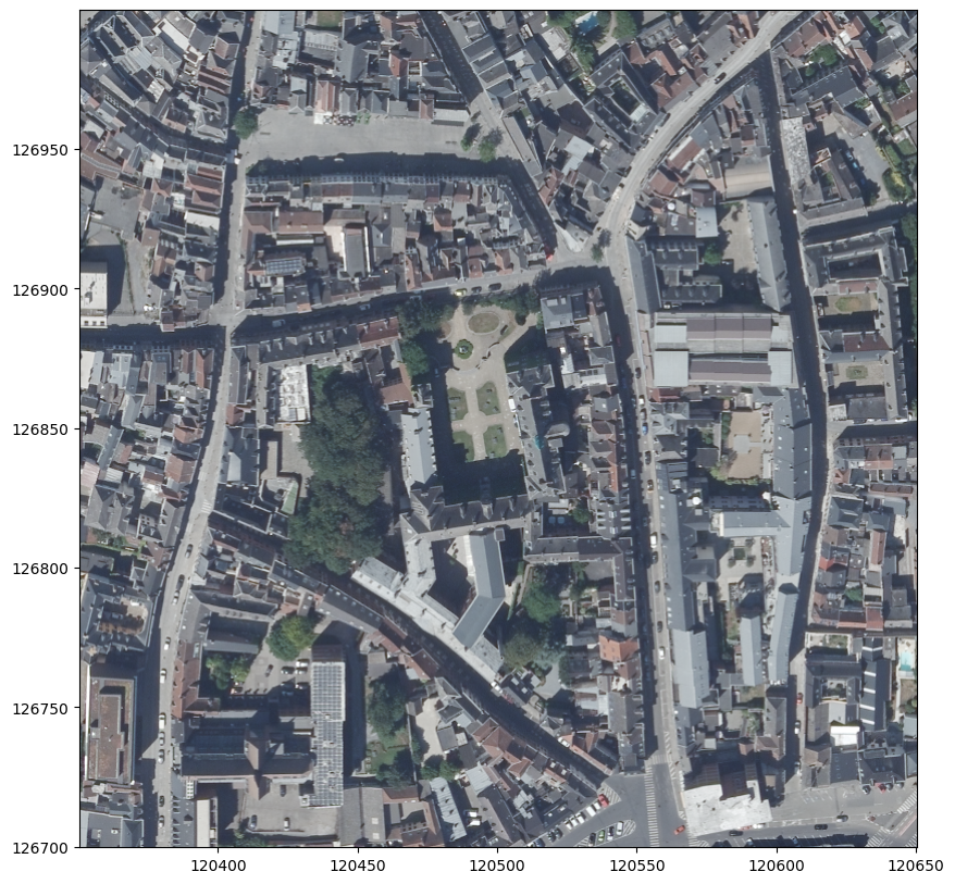
Geological mapping and modelling
This is a thumbnail gallery made with nbsphinx and sphinx-gallery styles:

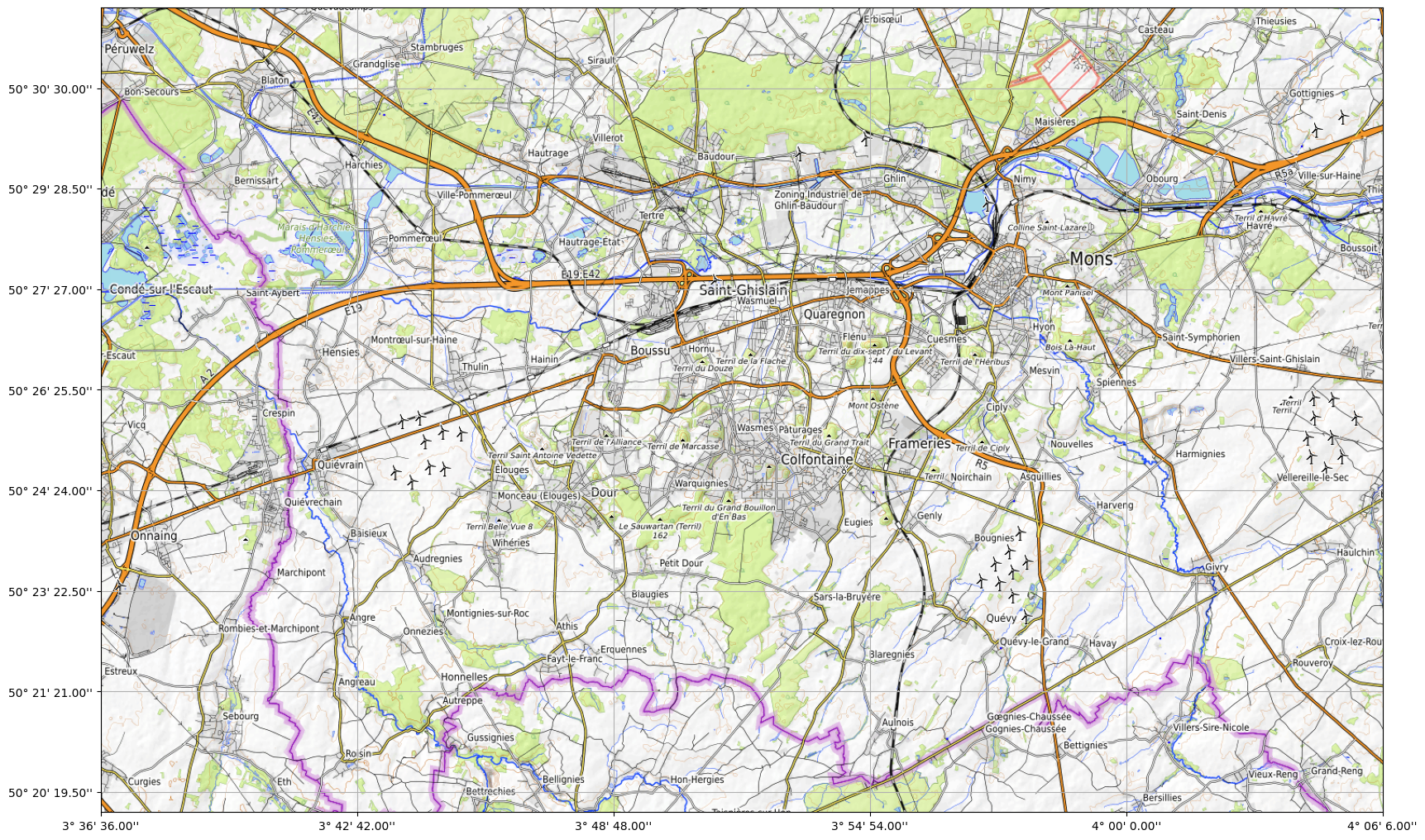
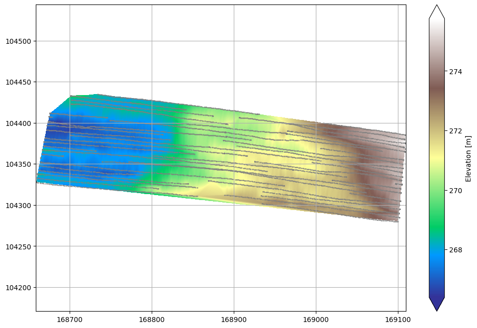
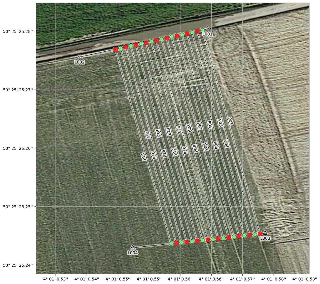
Geophysical survey layout and mapping
This is a thumbnail gallery made with nbsphinx and sphinx-gallery styles:
Miscellaneous
This is a thumbnail gallery made with nbsphinx and sphinx-gallery styles:
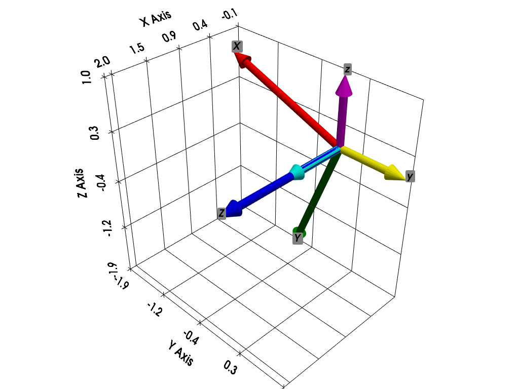
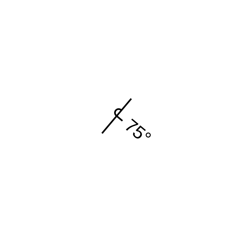
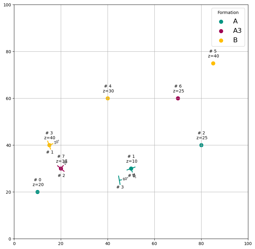
Retrieve Tate-Bryan angles form three orthogonal vectors (X, Y, Z) describing the attitude of a body relative to a fixed reference system described by the three unit vectors (x,y,z)
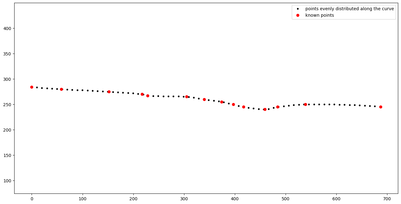
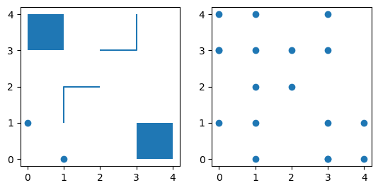
Define and apply an affine transform in 2D from control points
Convert geometries of a geodataframe to vertices
Define and apply a projective transform in 2D from control points
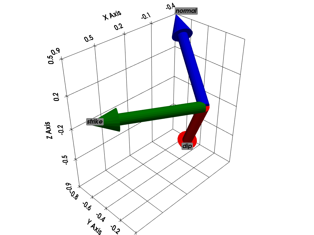
Vectors demonstration

Connect to and get data from ArcGIS REST services